| This is the barely recognizeable eastern approach to the Herrig Creek Trestle. Note the size of the Tamaracks growing out of the roadbed. The grade itself is just barely visible, but is confirmed by the fragments of ties still buried there, as well as some of the pilings which still stand on the western edge. | 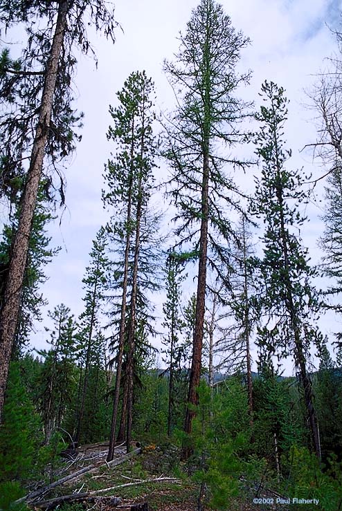 |
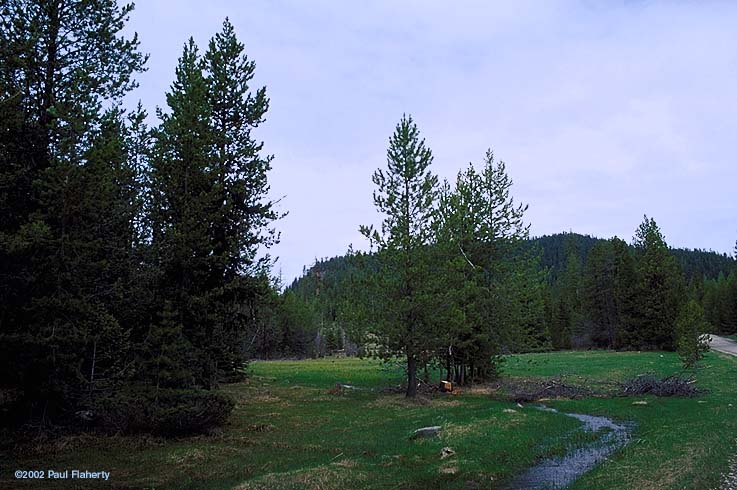 |
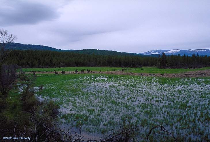
The line then passed through this meadow on the way up to the pass tunnel. |
| Haskell Pass Tunnel, western portal. As the portal was never "faced" with concrete, the shale rock above the tunnel has been gradually falling off into a pile in front of the tunnel. | 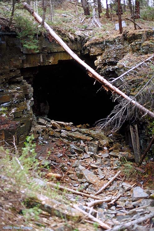 |
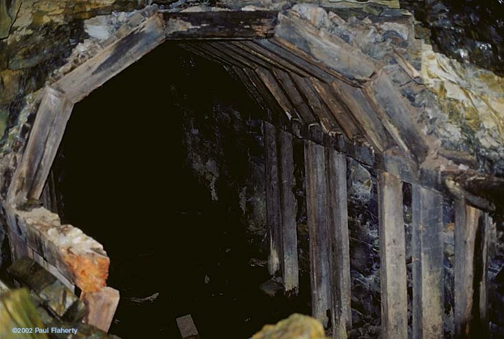 |
Inside the western entrance of the tunnel, the timber lining still stands, more than a century after its construction. |
| Walking along the grade westward from the tunnel, one passes through several rock cuts before this view of Pleasant Valley emerges. | 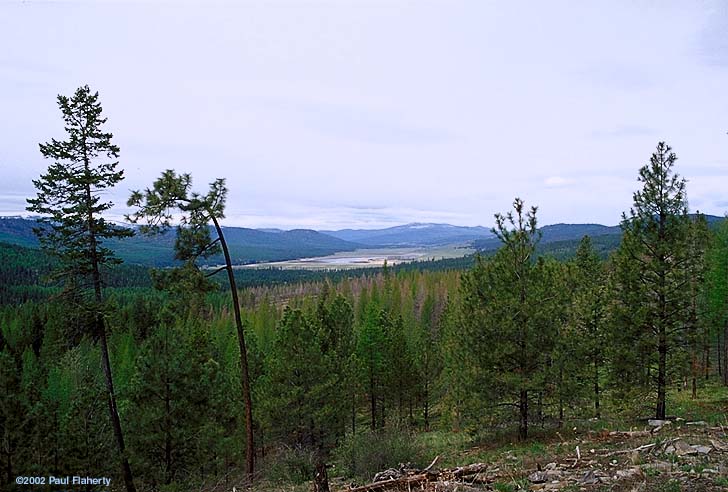 |
 |
Turning north along Island Creek, the line eventually crossed the creek at this location just south of Island Lake. |
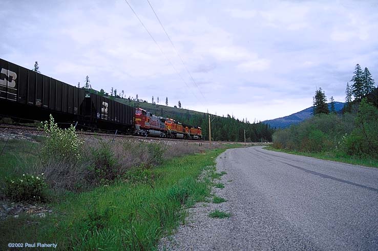
| Proceeding west along Wolf Creek, we rejoin the GN/BN/BNSF line near Tamarack Siding, which is close to the former location of Sterling, a siding on the original line. A westbound BNSF manifest comes screaming down the grade towards the Fisher River. |  |
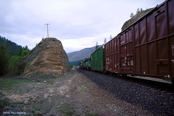 |
The manifest roars by, and through a long rock cut. |
| In the hole at Fisher Siding for the manifest was this eastbound. | 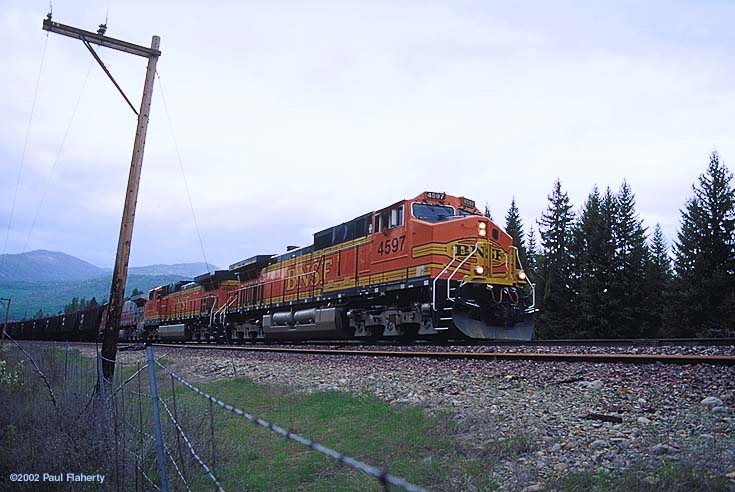 |
 |
The eastbound gets the high green, and thunders out of the sinding uphill. |
| The Fisher River joins the Kootenai at Jennings, MT, just below Libby Dam and what's now known as Lake Koocanusa. Amazingly, there's still a little stub of the second -- and most long-lived -- GN mainline through the Salish. On the east side of the river, the long rusty rails round a rock cut. | 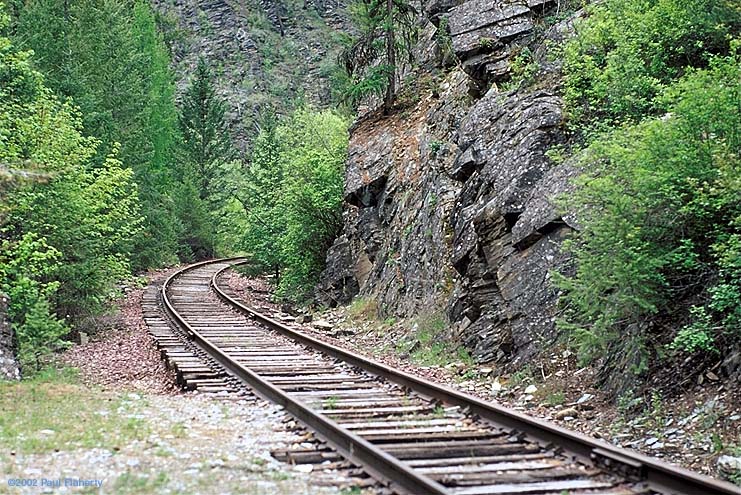 |
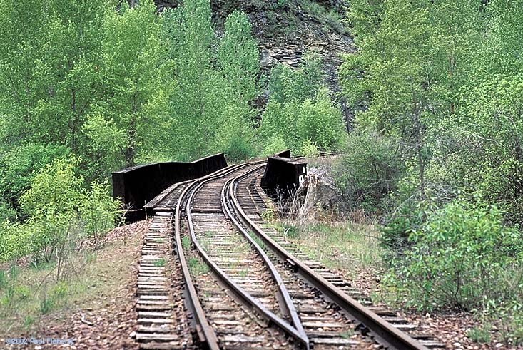 |
The Vanquished. The bridge across the Fisher River, built in 1903 as part of the effort to abandon Haskell Pass, still stands, just barely. Looking like something on the Northwest Pacific line, it's hard to believe that the Empire Builder passed over this bridge. |
[May 2002][October 2002]
